


Busting Myths About Costa Rica Destination, Free Costa Rica Magazine #99
We’ve recently seen misinformation circulating suggesting that Costa Rica is an expensive destination.

Debunking myths about Costa Rica’s South Pacific destination
There is false information circulating that suggests the South Pacific Costa Rica is an expensive destination
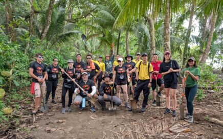
Beach Clean Up in Uvita: Community Spirit in Action at Marino Ballena National Park
Beach Clean Up in Uvita Community Spirit in Action at Marino Ballena National Park Author: Sophie Schindler
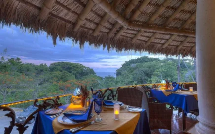
Costa Rica’s First 100% Gluten-Free Gourmet Restaurant
Costa Rica’s First 100% Gluten-Free Gourmet Restaurant La Palapa Restaurant: Indulgence Without Compromise Travelers come to Costa Rica seeking nature, adventure – and memorable dining. At Cuna del Ángel, a boutique hotel nestled in the […]

Adventure Begins Where Comfort Ends: Our Rain-Soaked Snorkeling Tour to Caño Island
What I Learned from Traveling in the Rain or Why a Plastic Cape Can Teach Humility Our Snorkeling Tour to Caño Island
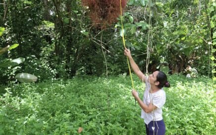
Increasing Biodiversity in the Path of the Tapir Biological Corridor
The area including the Path of the Tapir Biological Corridor in Costa Rica, is one of the few places with increasing biodiversity.
Costa Rica: a destination for all budgets, Free Travel Guide #98
In this free travel guide we also address recent online misinformation suggesting that our destination is expensive for visitors.

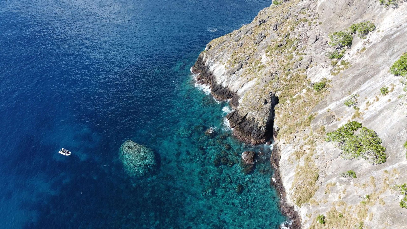
Discovering Dominicalito: A Tranquil Coastal Gem in Costa Rica
Located along Costa Rica’s Central Pacific coast, Dominicalito is a peaceful retreat just south of the bustling surf town of Dominical

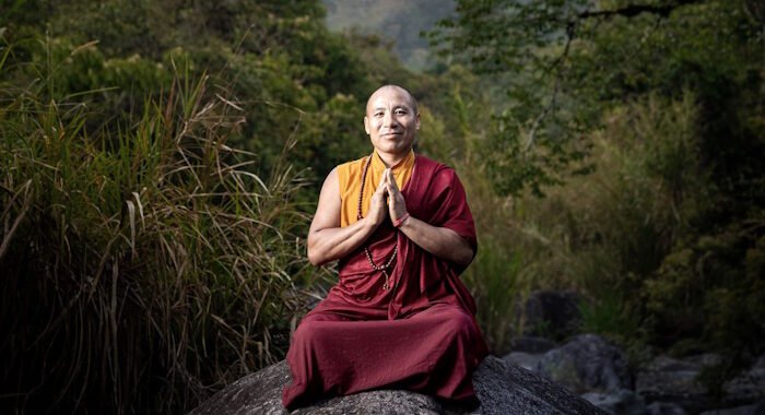
A LAMA’S JOURNEY IN LATIN AMERICA
Drupon Lama Dorje, a Buddhist Lama of the Drikung Kagyu lineage, embarked on his spiritual journey from a very young age.

Tellmegen, The Power of Genetics, Bahia Ballena Doctors
TellmeGen, a precision medicine study designed to provide personalized healthcare information tailored specifically to your genetic profile.